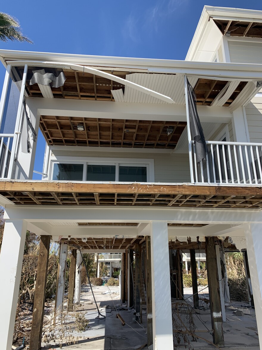
A map that shows damage levels to properties on Sanibel Island has been completed from the assessment of structures by Urban Search and Rescue Teams.
The damage assessments show there is widespread damage on the island, causing dangerous conditions throughout Sanibel and particularly in and around various structures.
Maps can be viewed by clicking here for data uploaded as of 3:49 p.m. October 3. Data is still being uploaded to the system, and during the update process, the data is unavailable on the host site. Once the next update is complete, the City will issue a new press release providing a link to that updated map and information.
Warning: the data on the map is for general reference purposes only. The map is not a guaranty of condition or any official city map and should not be relied upon as such. No warranties, express or implied, are provided as to the completeness or accuracy of this data, its use, or interpretation. All map information is subject to change without notice.
Once at the damage assessment site, viewers will see an overall view of the island and then can zoom in on the map to individual properties on Sanibel.
NOTE: NOAA satellite map offers views of damage in SWFL coastal areas

After zooming in to a property, viewers may click on a property’s waypoint and the pop-up box image will appear with information on the property’s damage level.
The City of Sanibel and the Sanibel Fire & Rescue District strongly recommend property owners do not attempt to access their structures as conditions on the island are unsafe regardless of the damage assessment level assigned to a property. There are dangerous debris fields, no electricity, no potable water, no sewer, and limited communications on the island.
The Sanibel Fire & Rescue District has limited resources to assist injured persons.
To the best of the City’s knowledge, the following was the process for the USAR assessment:
It was largely performed from the street; “Knock and go” searches of each structure on the island were performed to find people who did not evacuate for Hurricane Ian; and USAR assessment teams did not attempt to access any structure, except when there was a reasonable belief that rescue assistance was needed.
City personnel have not conducted any forced entries into structures and have not entered any private property structures, unless at the invitation of the owner.
For residents removing debris from the interior of their homes, please place the debris as close to the street as possible. Do not place any debris in streets as it may slow down response efforts and may restrict emergency vehicle access
WGCU is your trusted source for news and information in Southwest Florida. We are a nonprofit public service, and your support is more critical than ever. Keep public media strong and donate now. Thank you.


