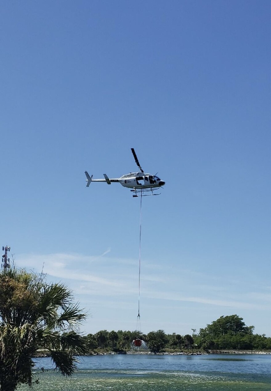
Residents within areas affected by a wildfire in the Big Cypress National Preserve have been notified of possible evacuation plans as the area under flame grew to nearly 3,300 acres.
Active fire behavior was observed Thursday on the wildfire, called the Sandy Fire, as the original 50-acre-under-flame area expanded.
Phase one of the Sandy Wildfire Evacuation Plan has been initiated and residents within the areas of concern have been notified of potential fire impacts and advised to prepare homes and themselves for potential evacuations.
Fire managers are monitoring fire behavior and will initiate a secondary phase of the evacuation plan if fire continues to move towards homes.
The secondary phase includes ensuring residents have bags are packed and ready to go and those with preexisting health conditions have been encouraged to leave.
Sandy Wildfire Information Officer Riki Hoopes said the final phase of evacuation could occur when fire threat is imminent at which point all residents will be advised to leave.

Hoopes said crews continued to focus efforts on structure protection and suppression burn out operations along the northeast and northwest flanks Thursday, working to protect and secure private structures in the area.
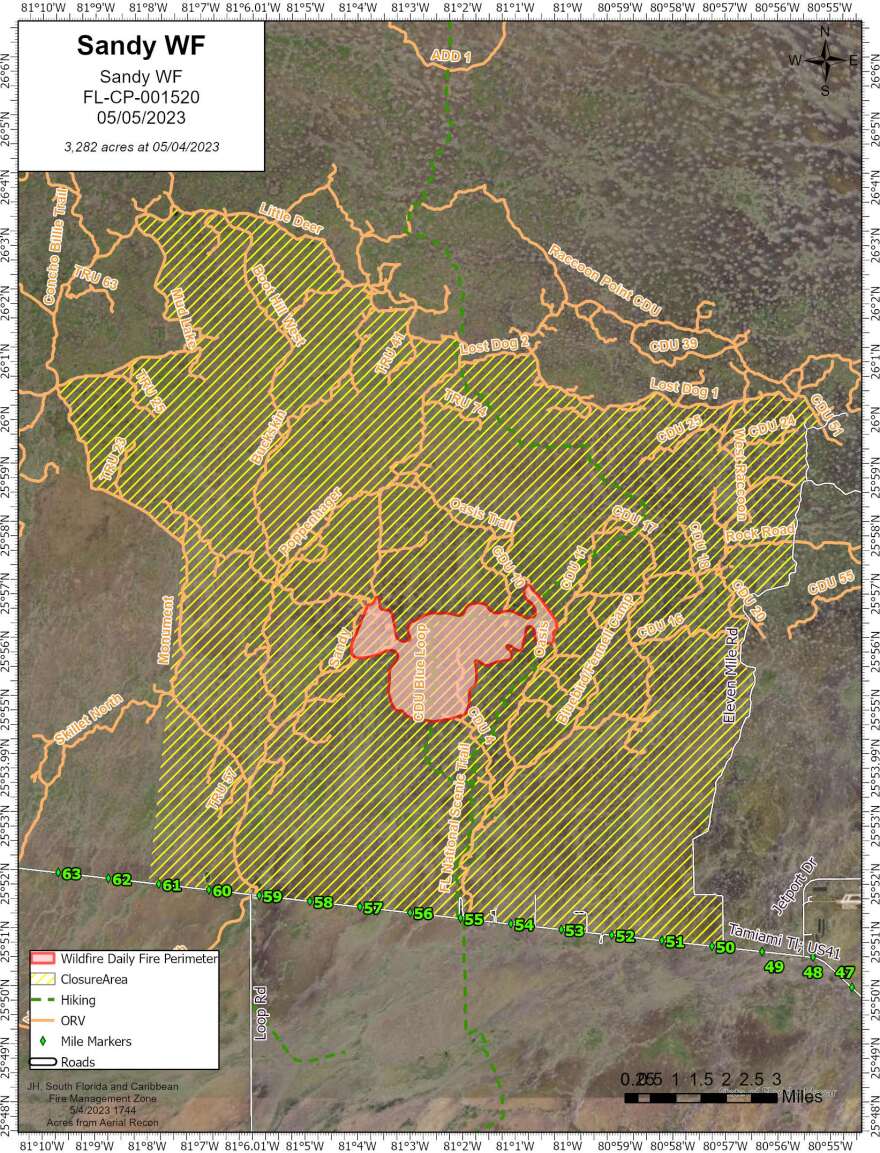
Operations were expected to continue into the night as firefighters take advantage of cooler temperatures and higher relative humidity. The fire was mapped at 3,282 acres late Thursday afternoon.
An incoming cold front is expected to bring increasingly dry conditions, Hoopes said, and a change in wind direction, causing potential smoke impacts to US 41 as early as Friday morning. Travelers are urged to use caution when in the area.
Closures remain in effect west of 11 Mile Road, north of US41, east of Monument Trail, and south of Mud Lake, Little Deer, Oasis Trail and Lost Dog to ensure the safety of the public and allow firefighters to work without impediment.
WGCU is your trusted source for news and information in Southwest Florida. We are a nonprofit public service, and your support is more critical than ever. Keep public media strong and donate now. Thank you.


